Green infrastructure can help improve flood resilience in low-income communities at typically lower costs than conventional pipes and pumps, but it is not the best fit for every neighborhood. It is the job of stormwater and transportation professionals to identify specific areas where implementing green infrastructure can make a crucial difference for public safety and quality of life.
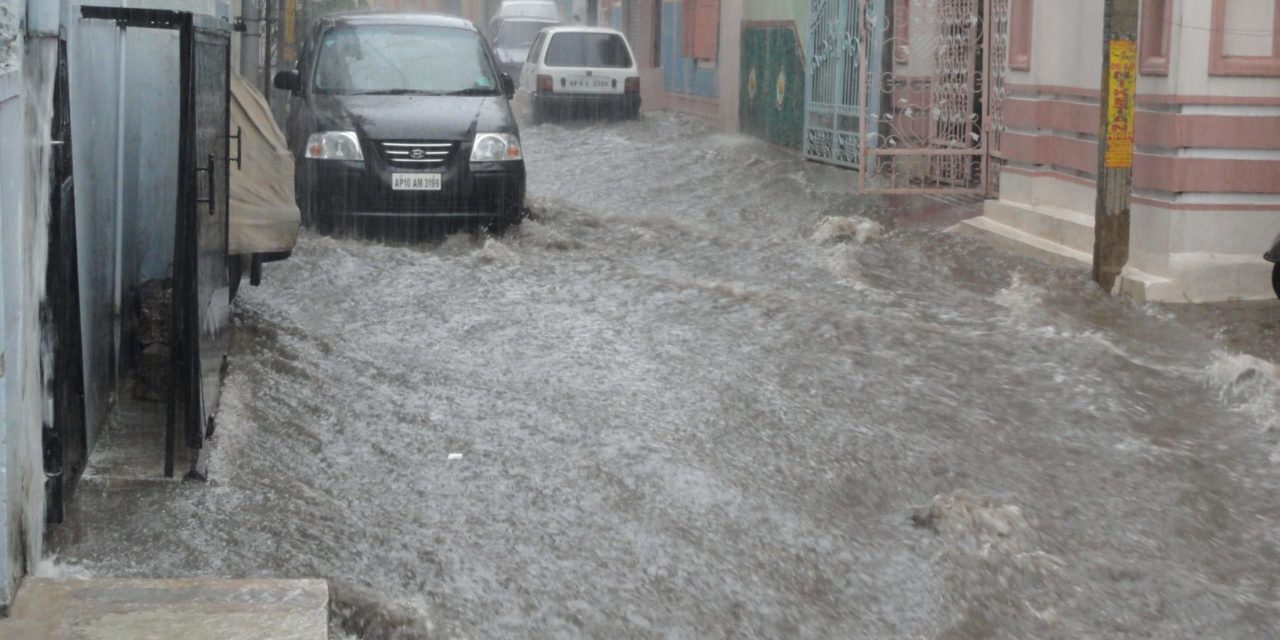
Ensuring adequate stormwater control infrastructure is in place to keep roads drivable, sidewalks walkable, and trains and buses moving safely when extreme flooding occurs is a key function of any stormwater management organization. Protecting transit infrastructure is particularly important in low-income city neighborhoods that have historically faced chronic underinvestment in flood control and whose residents are more likely to rely on public transportation.
The National Institute for Transportation and Communities (NITC; Portland, Oregon) recently released a report proposing a new model to facilitate green infrastructure adoption in low-income communities. In the 43-page NITC report, backed by researchers from the University of Arizona (Tucson) and Arizona State University (Tempe), authors detail a new approach to planning stormwater infrastructure investments that prioritizes mobility, enabling citizens to easily navigate minor flooding issues and reliably evacuate during emergencies.
Focus on Under-Resourced Communities
According to the report, many standard procedures available to help governments, nonprofit groups, and utilities plan new flood-control measures consider how different levels of flooding may affect transportation. However, most approaches focus primarily on the vulnerability of the transportation infrastructure alone, the authors write.
These approaches help stormwater and transportation professionals understand whether roadways, bus stops, and train stations can physically withstand flood events, but do little to describe whether pedestrians, cyclists, and passengers can access them.
To demonstrate a new methodology for siting green infrastructure, researchers developed specific recommendations to improve flood resilience in Tucson, Arizona. 93% of areas used for the study, authors write, fell below the city’s median household income and experienced varying degrees of flooding during the Arizona wet season.
The proposed method begins by estimating the specific flood conditions in each area. In this exercise, researchers used modeling software alongside a digital elevation model of each neighborhood to simulate a 5-year, 1-hour storm event. Next, the researchers examined 10 years of local transit data to identify the busiest pathways in each area, considering vehicle and bicycle counts as well as bus and train ridership. Using both sets of data, the authors identified 30 priority locations for green infrastructure. These locations featured the highest amount of traffic from pedestrians, cyclists, and drivers that also regularly experienced flooding issues minor enough for green infrastructure to mitigate. Finally, researchers rendered 30 potential green infrastructure interventions using ArcGIS Hydrology Analysis software to study the changes each new piece of infrastructure would make in terms of transportation network accessibility during heavy storms.
Finding the Right Location
Results from the exercise revealed several key principles that planners should keep in mind when considering green infrastructure to protect transportation infrastructure.

First, the sites that would experience the greatest improvements in transportation access were areas sited downstream from existing stormwater control methods. Building green infrastructure upstream from major thoroughfares in addition to the most trafficked areas is the ideal approach, the researchers describe. Interventions targeted toward pedestrian walkways and bus stops, such as buffer strips separating roads and sidewalks, also achieved the greatest accessibility benefits.
Next, authors note that green infrastructure is best suited to areas that experience only moderate flooding rather than neighborhoods that routinely struggle with major flood events. For these areas, traditional infrastructure, such as underground stormwater piping or large basins, are still the more effective approach. However, green infrastructure can work in concert with conventional interventions to provide additional flood protection at the same time as other co-benefits.
Planners should strive to locate specific sections of streets and sidewalks, which may feature certain elevations or land-use types, near which green infrastructure would provide benefits beyond the immediate area. They should also prioritize areas with substantial open spaces, as more expansive green infrastructure measures typically capture stormwater from larger areas.
Read the full report, Urban Transportation System Flood Vulnerability Assessment with Special Reference to Low Income and Minority Neighborhoods, at the NITC website.


